Outline
- Introduction: The intersection of intangible faith and tangible data.
- Key Concepts: Defining sacred landscapes and the mandate of organizations like UNESCO and ICOMOS.
- The Standardization Imperative: Interoperability, metadata, and the FAIR principles.
- Step-by-Step Guide: How practitioners implement standardized digital documentation.
- Case Studies: The Digital Dunhuang Project and the Sacred Sites of the Himalayas.
- Common Mistakes: Overlooking intangible heritage and siloed data formats.
- Advanced Tips: Utilizing 3D photogrammetry and semantic web technologies.
- Conclusion: Future-proofing the sanctity of the past.
Preserving the Divine: The Role of International Organizations in Standardizing Sacred Landscape Documentation
Introduction
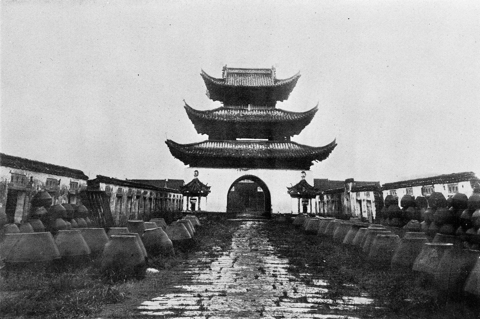
Sacred landscapes—ranging from the temples of Angkor Wat to the pilgrimage routes of the Camino de Santiago—represent the intersection of environmental geography and human spirituality. These sites are not merely physical coordinates; they are repositories of intangible heritage, ritual cycles, and community memory. As the threat of climate change, urbanization, and conflict looms over these fragile locations, international cultural heritage organizations have moved to center stage, acting as the architects of global digital preservation standards.
Why does standardization matter? Without a unified digital language, documentation becomes a fragmented tapestry of incompatible files, proprietary software lock-ins, and inaccessible archives. This article examines how global bodies like UNESCO, ICOMOS, and the Getty Conservation Institute are creating the protocols necessary to ensure that sacred landscapes are not just captured, but understood and protected for future generations.
Key Concepts
To understand the role of international organizations, we must first define the scope. A sacred landscape is a territory recognized by a community as having spiritual significance. This can include natural features like mountains and rivers, as well as man-made structures. The documentation of such sites requires capturing both the physical geometry (architecture, topography) and the intangible dimensions (chants, seasonal ceremonies, astronomical alignments).
International organizations function as standard-setters. They do not necessarily own the data, but they define the metadata schemas—the “data about the data”—that allow a digital archive in Japan to speak the same language as one in Italy. The primary goal is the adoption of the FAIR Principles (Findable, Accessible, Interoperable, and Reusable). By mandating these, organizations ensure that a researcher searching for “sacred water sources” can aggregate data across borders without encountering technical dead-ends.
The Standardization Imperative
The digitization of sacred space is no longer just about photographs. It involves LiDAR (Light Detection and Ranging), 3D point clouds, multispectral imaging, and GIS (Geographic Information Systems) mapping. If these datasets are produced without a standard, they are often unusable beyond the original research team.
International organizations intervene by promoting Ontologies. An ontology is a formal naming and definition of the types, properties, and interrelationships of the entities that exist for a particular domain. For sacred landscapes, this means defining terms so that “altar” in one language is consistently categorized as a “ritual focal point” across databases. This prevents information loss and allows for long-term digital preservation, ensuring that as software evolves, the underlying data remains readable.
Step-by-Step Guide to Standardized Documentation
For heritage professionals and stewards of sacred sites, adhering to international standards involves a structured workflow:
- Site Characterization and Risk Assessment: Begin by identifying the “values” of the landscape. Is it the structure, the view, or the soundscape? Use the ICOMOS Principles for the Preservation of Historic Timber Structures or similar documents to align your documentation goals with international best practices.
- Adoption of Metadata Standards: Utilize the CIDOC Conceptual Reference Model (CRM). This is the industry standard for cultural heritage documentation. Ensure your data entries follow these CRM standards to ensure interoperability.
- Digital Capture using Open Formats: Avoid proprietary file formats. Use industry-standard formats such as .OBJ or .PLY for 3D models and .TIFF or .RAW for imagery. This ensures longevity, as these formats are generally backward-compatible.
- Geospatial Integration: Align all documentation with global coordinate systems (such as WGS 84). Sacred landscapes are inherently spatial; mapping them within a standardized geographic context is critical for monitoring change over time.
- Secure Archiving and Metadata Tagging: Store the data in a redundant repository that adheres to OAIS (Open Archival Information System) standards. Ensure every file is tagged with metadata regarding its provenance, the capture device used, and the intent of the record.
Examples and Case Studies
The Digital Dunhuang Project serves as a premier example of standardizing complex sacred environments. By digitizing the Mogao Caves, the project team utilized advanced 3D scanning to create a “digital twin.” By adhering to international imaging standards set by the Getty Conservation Institute, they ensured that the digital color, texture, and structural data could be shared with global scholars, allowing for virtual studies that do not endanger the physical frescoes.
Another application is the UNESCO World Heritage Centre’s monitoring of Himalayan sacred sites. By creating a standardized digital database of high-altitude pilgrimage routes, UNESCO has allowed local communities to document not just the terrain, but the changing ecological conditions of the landscape. This standardized data allows for the early detection of climate-induced erosion, enabling targeted intervention before the sacred paths are destroyed.
“Standardization is the bridge between ephemeral tradition and permanent memory. Without a shared framework, our digital records become digital ruins.” — Leading Heritage Technologist
Common Mistakes
- Ignoring Intangible Heritage: Many teams focus exclusively on 3D geometry while ignoring the “intangible” layer. A sacred landscape is incomplete without the documentation of the rituals associated with it. Organizations like UNESCO emphasize that the function is as important as the form.
- Vendor Lock-in: Relying on a single software provider to document your site. If that company goes bust or upgrades its platform, your data may become inaccessible. Always demand open-source export options.
- Failure to Plan for Long-term Storage: Documentation is not a “one-and-done” process. Digital files degrade (bit rot). Failing to implement a periodic data migration strategy is a fatal error in digital preservation.
- Siloing Data: Keeping the digital record within a local university or ministry server. Standardization is meant to facilitate access; failing to contribute data to broader, searchable repositories limits the impact of your work.
Advanced Tips
To push your documentation project to an expert level, consider the following:
Implement Semantic Web Technologies: Move beyond basic spreadsheets. Use Resource Description Framework (RDF) to link your data to other online heritage databases. This allows your sacred landscape data to be linked to broader historical datasets, enabling cross-disciplinary discovery.
Integrate Photogrammetry with Environmental Sensors: Combine visual 3D documentation with real-time sensor data regarding humidity, temperature, and vibration. Organizations like ICOMOS are increasingly encouraging this “holistic” documentation style, which treats the sacred landscape as a living, breathing ecosystem rather than a static monument.
Engage Local Stakeholders as Co-Creators: The most effective digital documentation is done in partnership with the communities who hold the sanctity of the landscape. Use mobile-friendly documentation tools to allow practitioners to input metadata about the rituals, ensuring the “human element” is preserved alongside the technical specs.
Conclusion
The role of international cultural heritage organizations in standardizing digital documentation is the invisible bedrock upon which the future of sacred landscapes rests. By moving away from proprietary, isolated projects and toward interoperable, open-standard systems, we ensure that these sites—and the profound human experiences they foster—remain accessible to the global public. The task is complex, requiring a synthesis of technical skill, historical sensitivity, and institutional collaboration. However, by following the established frameworks of organizations like UNESCO and ICOMOS, we can create a resilient digital archive that honors both the sacredness of the past and the technology of the future.


Leave a Reply